Italy, 1740
Sold Out
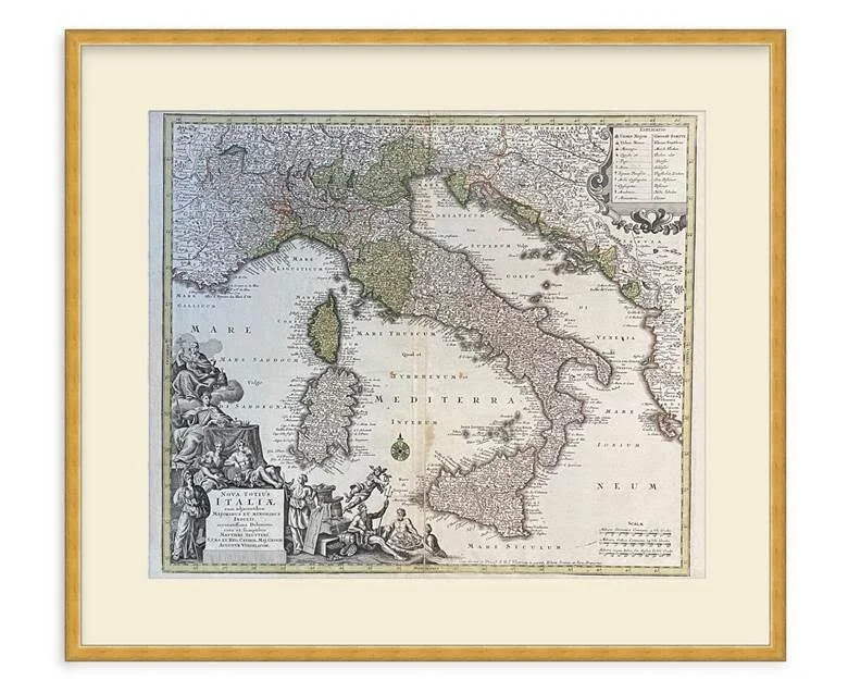
Italy, 1740
$1,000.00
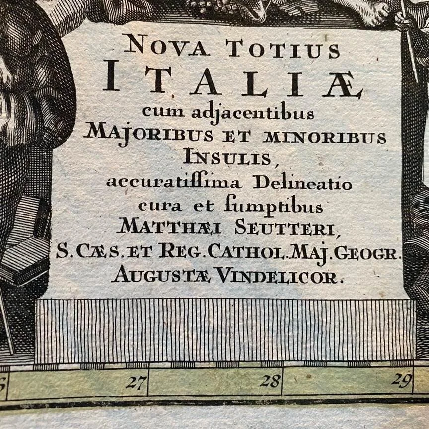
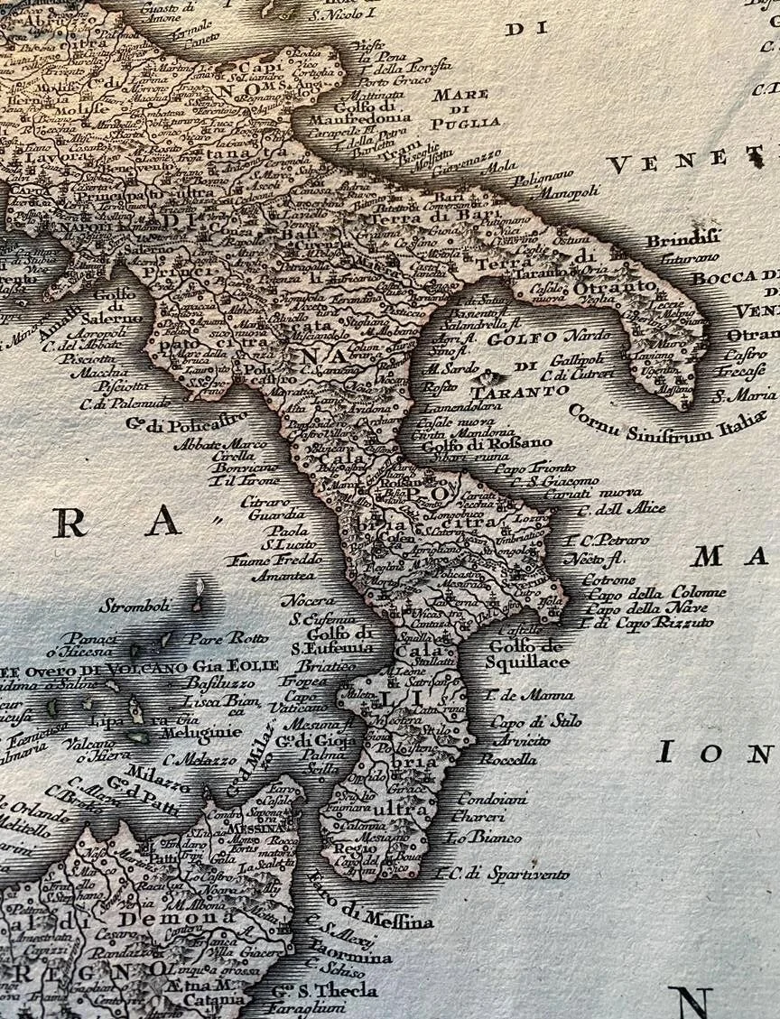
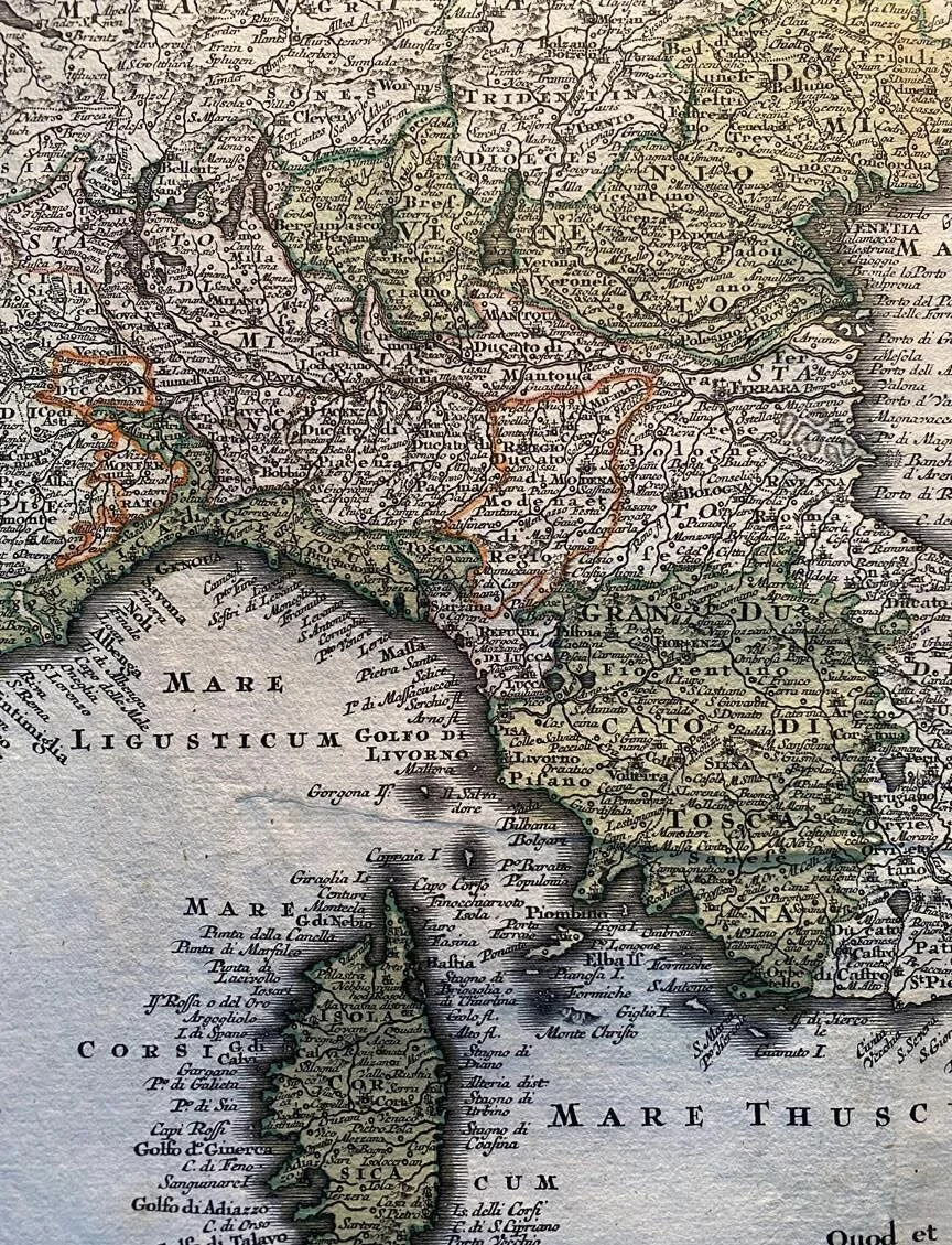
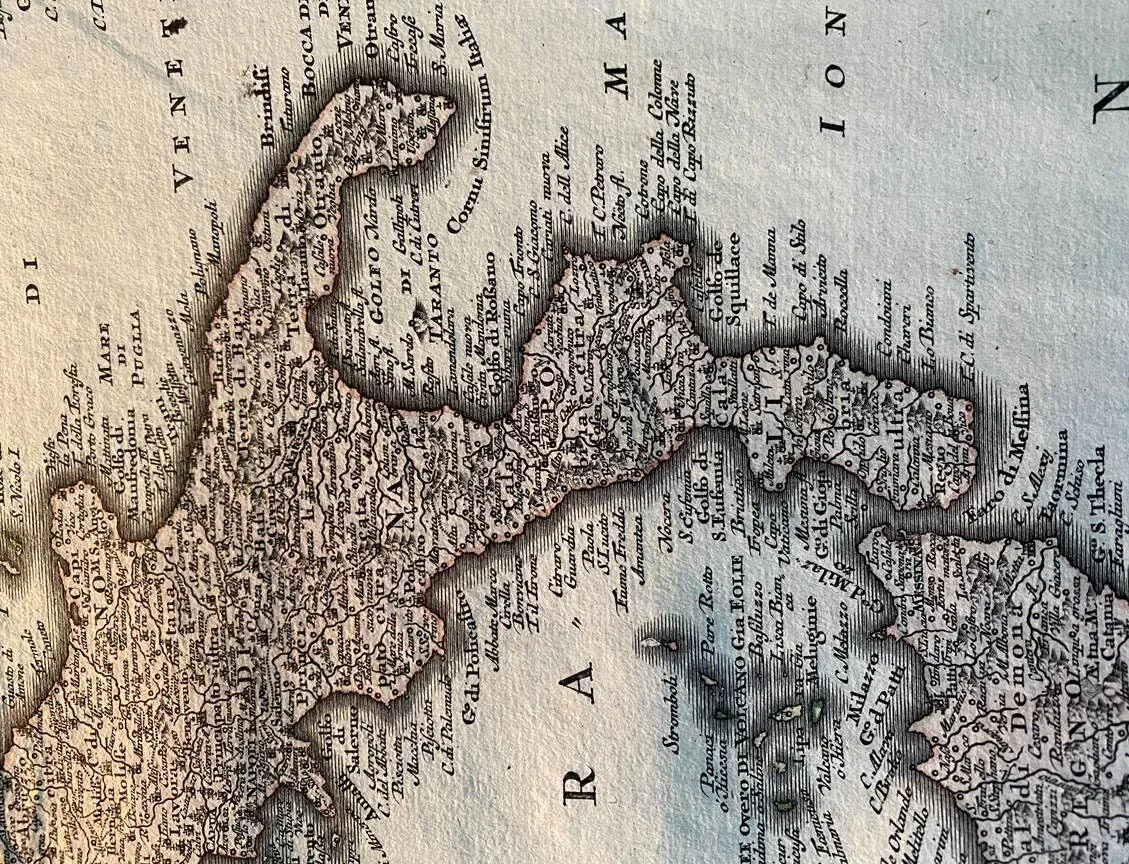
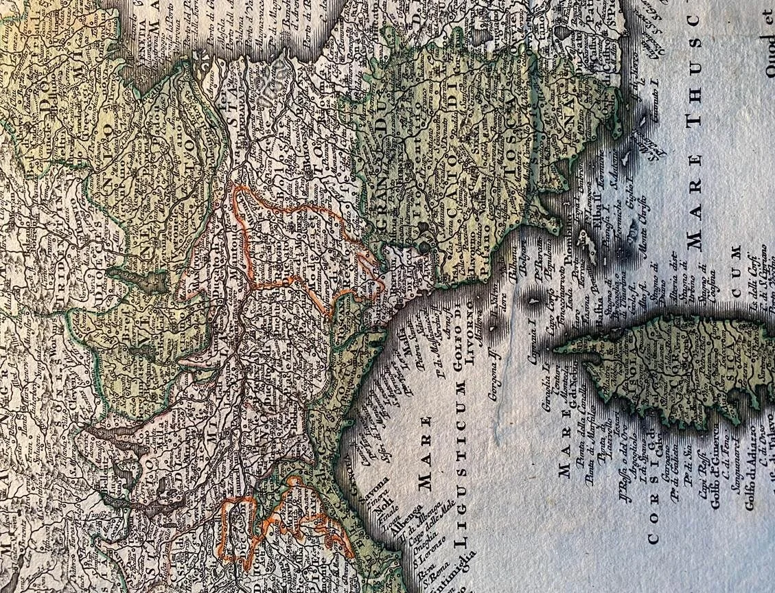
Beautiful, decorative map of Italy that also includes the islands of Corsica and Sardina, Sicily and the coastline of Balkans. Made by a prominent German cartographer named Georg Matthäus Seutter and published in Augburg. Features a gorgeous cartouche and the overall typical bold and detailed style engraving Seutter was known for. In fine overall condition with some minor oxidation spots around the centerfold and around the border. Measures approximately 24 1/4 x 21 1/16 inches.
This antique map is custom framed to the buyers specification.